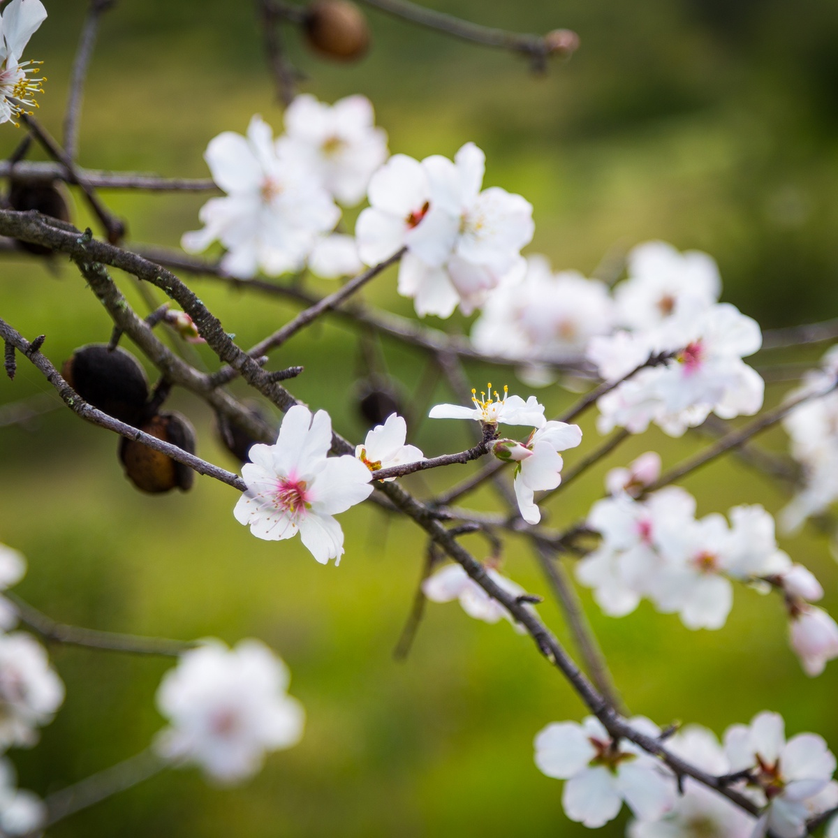
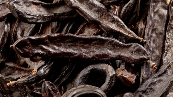
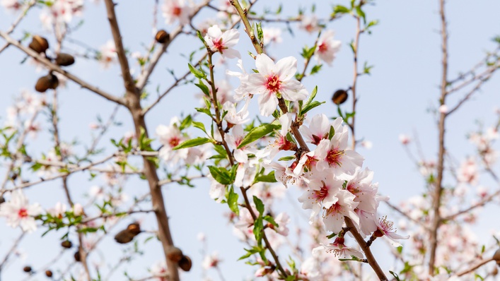
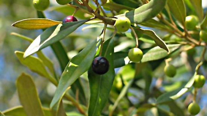
With international banks the Guadiana rivers cuts its way through a landscape of hills adorned with rockrose, olive, carob and almond trees, concealing constructions of schist and providing shelter for countless species of fauna and flora.
The «Rio Grande do Sul» links the Alentejo and the Algarve and has two different boarders with Spain.
The river rises in Spain and flows for 810 km, 235 km of which are through Portugal, until it reaches the Atlantic Ocean between the cities of Vila Real de Santo António, on the Portuguese side, and Ayamonte, in Spain. It forms the primary bond between the three Algarve municipalities of the Baixo Guadiana, as well as several streams/riversides, or "ribeiras", as they are called in Portuguese: Odeleite, Beliche, Foupana, Cadavais and Vascão.
In the past, the Guadiana was a sublime river for fishing and for the mining transport. Bateiras and boring mingled with steamships and sailing boats crossed the Guadiana so many times a day... This bustle is over, the S. Domingos Mines are closed, fishermen are becoming less, however some still maintain traditional fishing arts alive.
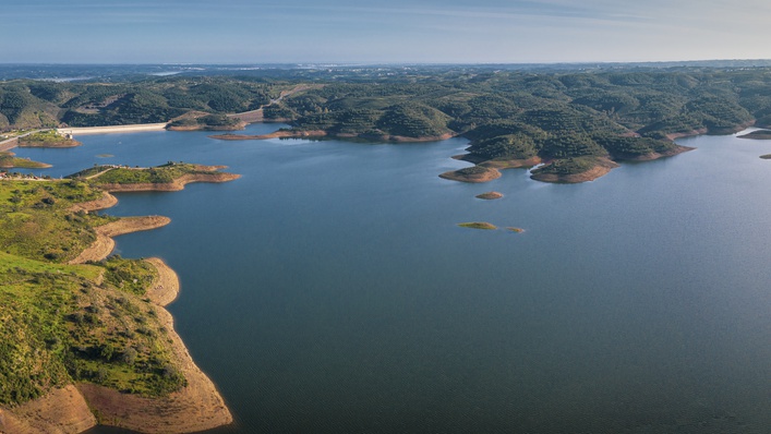
In this river we can also find the largest artificial lake in Europe, the Alqueva Dam, a huge freshwater dam built for irrigation purposes and water supply.
The conditions along the river for water sports are excellent. To find out more about its secrets, pay a visit to the Museu do Rio (River Museum) in Guerreiros do Rio, where you can learn about the culture of this fishing village.
The Romans called the river "Ana" (which means "duck") and the Arabs added the word "Uádi" (meaning "river"), so the name Guadiana means "Duck River".
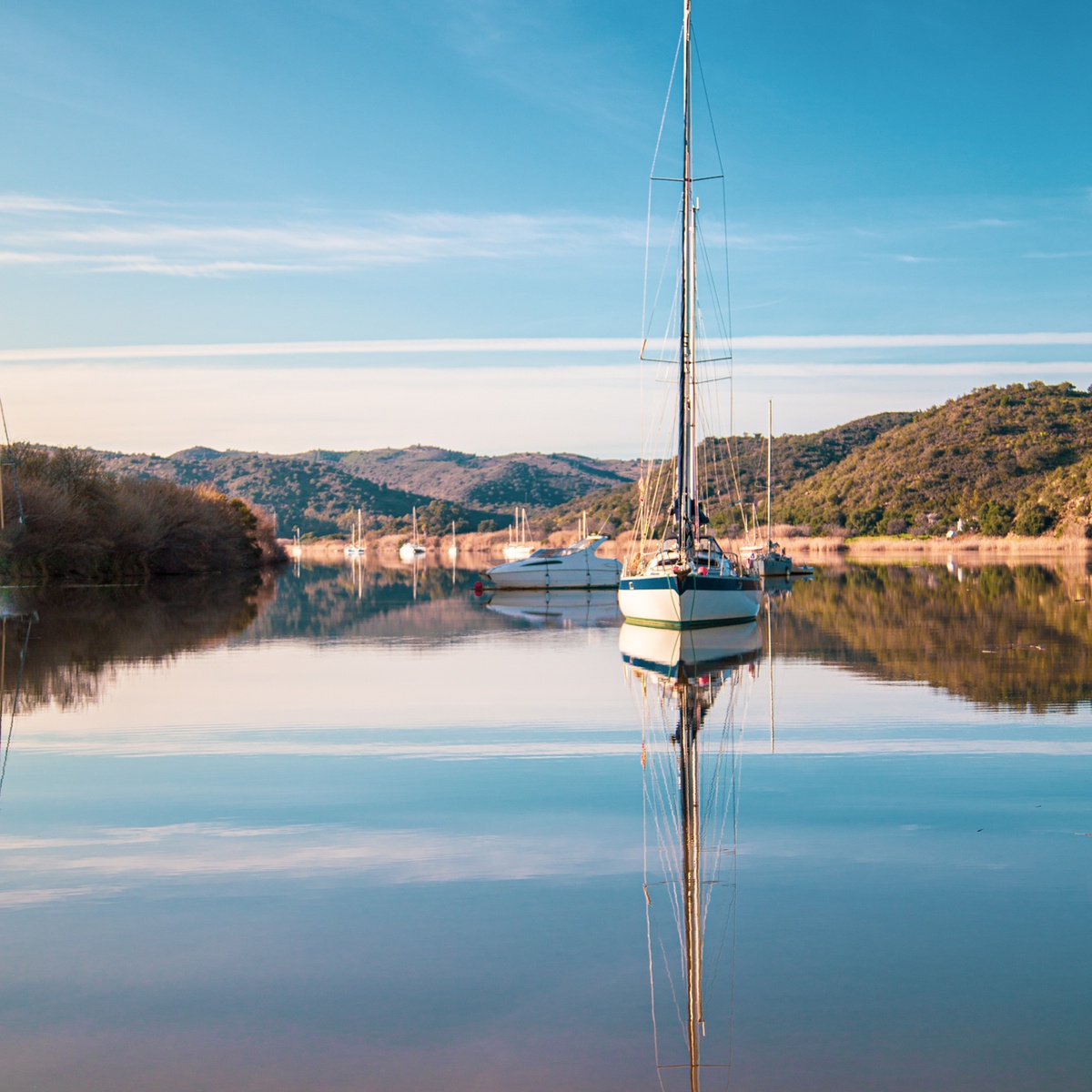
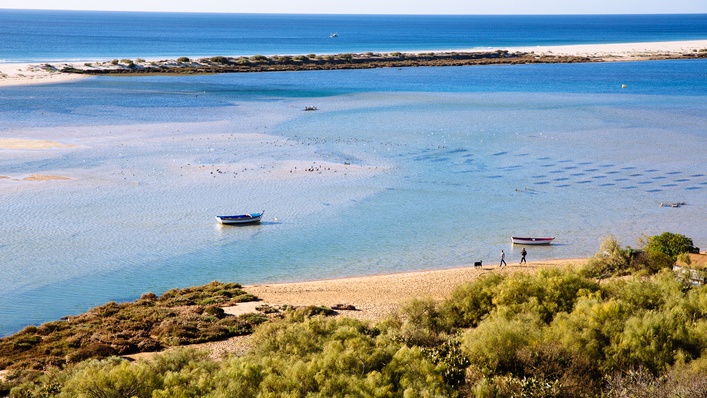
Currently, the Guadiana river is a beautiful place near the Lagunas de La Ruidera, in the Spanish province of Albacete. Flows into the Atlantic, near Vila Real de Santo António and Ayamonte (Spain). It is navigable in the last 48 kms, the Pomarão to its mouth where its width varies between 100 and 500 meters. Despite the serenity of their movements and the tranquility of the countryside around the bed of the Guadiana is held in permanent change, allowing you to take on different characteristics and be home to a wide variety of species, due to the encounter of freshwater and salt.
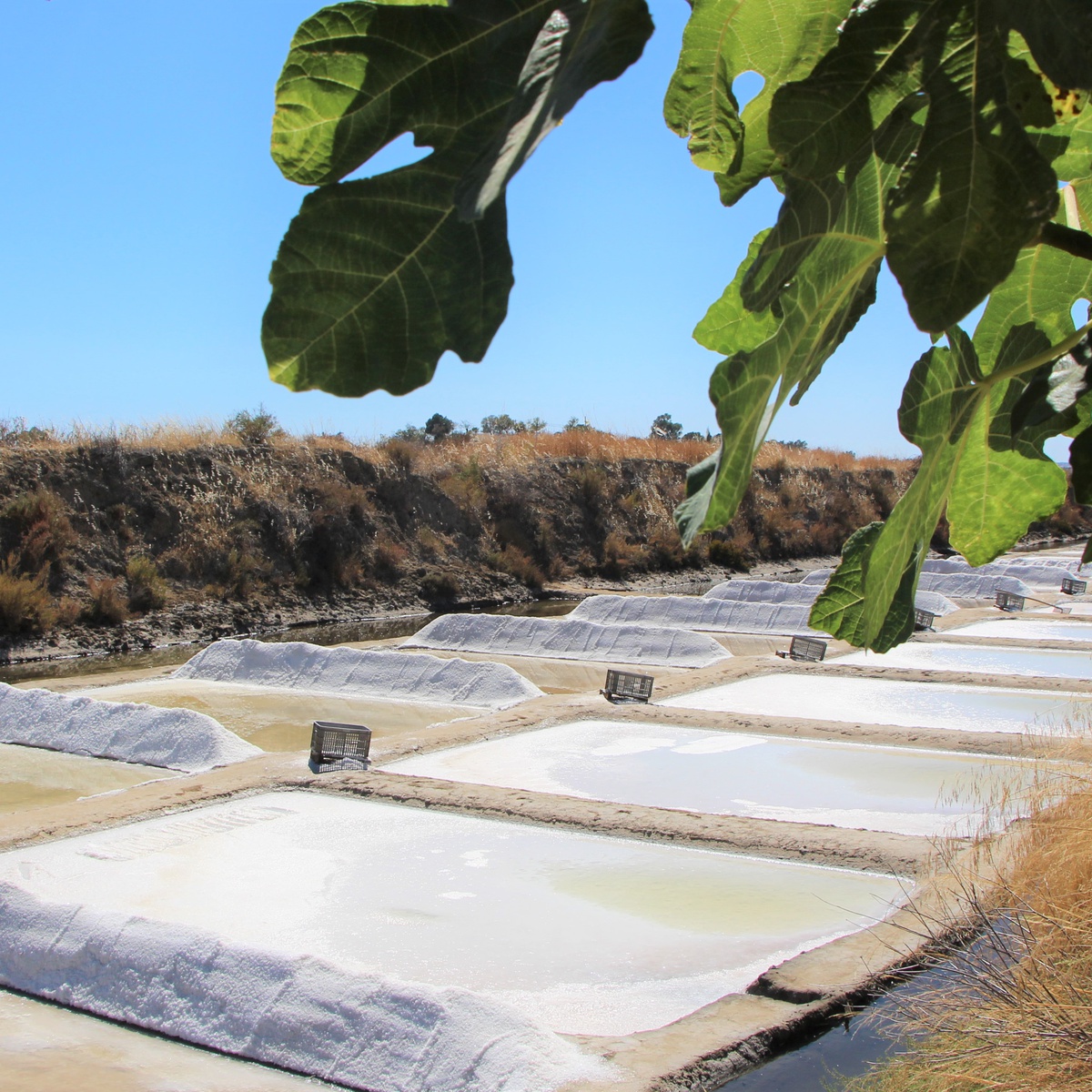
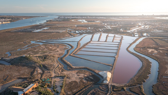
The Guadiana, the ocean and people have all helped to mould marshlands from which salt pans emerge, a web of channels and reflecting pools that stretch across Castro Marim and VRSA, forming a maritime meadow dotted with gardens of salt.
The salt pans cover 583 hectares of the Reserve. Here, traditional small producers who gather the salt by hand work alongside industrial operators. Salt production keeps step with the changing seasons of the year; the salt pans are prepared in March and the salt is produced and gathered from June to September.
Located within the Castro Marim and Vila Real de Santo António Marsh Natural Reserve, saline ensure an environment free of pollution, in full harmony with nature (www.icnf.pt).
With about 2,000 hectares, the nature reserve cohabits in symbiosis with the production of traditional sea salt, contributing this decisively to the maintenance of terrestrial and aquatic ecosystems of high biodiversity having as international warranty statutes assigned protection that attest to their quality environmental:
- Wetland of International Importance (Ramsar Convention)
- Special Protection Area (Birds Directive)
- Natura 2000 network (Habitats Directive)
The salt is produced in Castro Marim nearly 2000 years, introduced by the Romans here who produced the famous "Garum". The production structure has remained over the centuries, at unchanged geographical area, involving the village. Castro Marim holds the largest Portuguese community craft «salt makers».
The water from the Guadiana River estuary to the rhythm of the tides, enters the inland creeks (river arms), flooding the marsh clay lands. The Marnoto (which governs the saline), the tides opens the gate of the saline filling the pond (water reservoir dug into the clay) cold water. Step by step, the Marnoto makes the water circulate the cold water ponds for hot water, gravity and at appropriate times, making the water train for days, decanting naturally and gradually increasing, by evaporation, water salinity . At the end of the waters government cycle the Marnoto takes small amounts of this already saturated water salt to butchers, small "pools" rectangular dug into the clay, where Flor de Sal is harvested with the strainer and where the salt will precipitate the end a few days. The Marnoto then uses the squeegee (wood instrument) to pull the salt out of the butcher, a careful process where their experience is essential to separate the white background of the black salt clay. The salt and salt flower are then dried in the sun and wind before being packaged, ready for consumption.
Throughout this process, machines are not used, or irons, nor fuel, nor chemical! Waste is not produced, no waste! Only tools and wood tools and similar material, the strength of man and nature.
in www.aguamae.pt
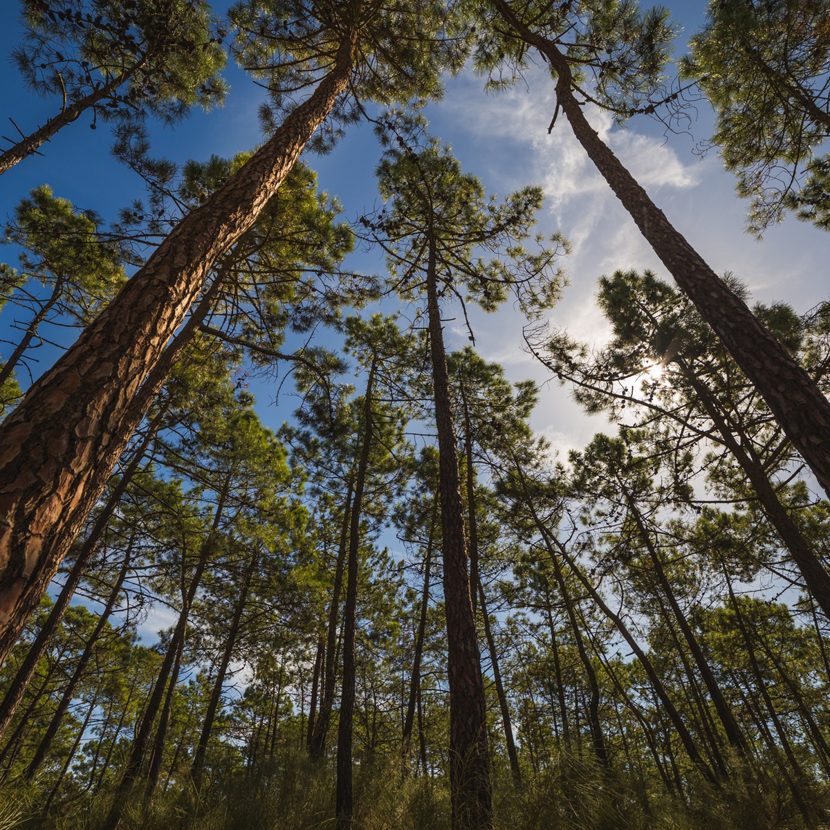
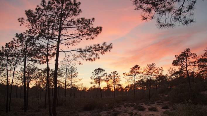
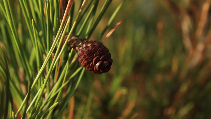
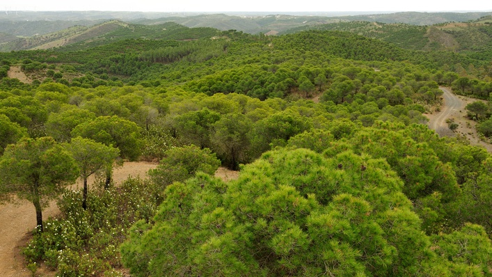
In northeastern municipality of Castro Marim, in Odeleite, where the stone pine is the predominant species, we found the Mata Nacional das Terras da Ordem. The Mata Nacional das Dunas Litorais de VRSA, it´s near the mouth of the Guadiana river and extends it self over 3km to Monte Gordo. Both woods provide a pleasant atmosphere in the outdoor sporting activities.
National Forests, under the direct management of ICNF, hold an important role in nature conservation, to which is added the qualification of the landscape and the availability of spaces for public use in recreational activities related to nature.
Dont forget to observe the following rules when you visit the Matas:
Be discreet, avoiding noise;
Do not damage or crop plants or parts thereof;
Do not disturb the fauna;
Do not throw trash into the ground;
Do not make fire.
The Baixo Guadiana brings together an infinite showcase of natural treasures and ancient landscapes for visitors to feast their eyes on. The coastal area features two important wetland areas: the Reserva Natural do Sapal de Castro Marim e VRSA (Castro Marim and VRSA Marshland Nature Reserve) and the Parque Natural da Ria Formosa (Formosa Estuary Nature Park).
Covering an area of 2,000 hectares, the Reserve lies close to the mouth of the Guadiana, mostly consisting of wetland areas of marshes, saltpans and inlets that constitute a vital habitat for thousands of water birds.
It is understood by nature reserve an area that contains ecological characteristics, geological and that is not inhabited permanently. The classification of a nature reserve aims to protect the existing natural values, ensuring that future generations have the opportunity to enjoy and understand the value of the areas that have remained little changed by human activity.
Among the nine areas classified as nature reserves, is the Sapal de Castro Marim and Vila Real de Santo António (dates from 1975 and is, in fact, the first AP created after April 25).
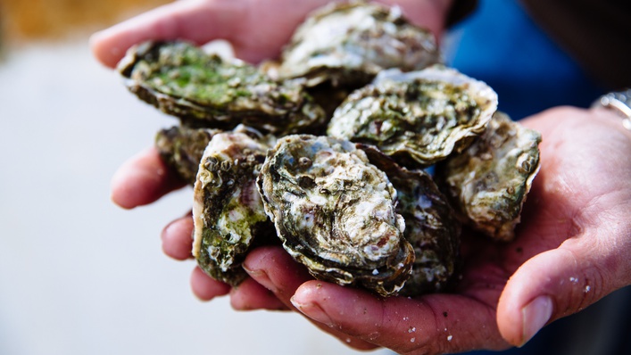
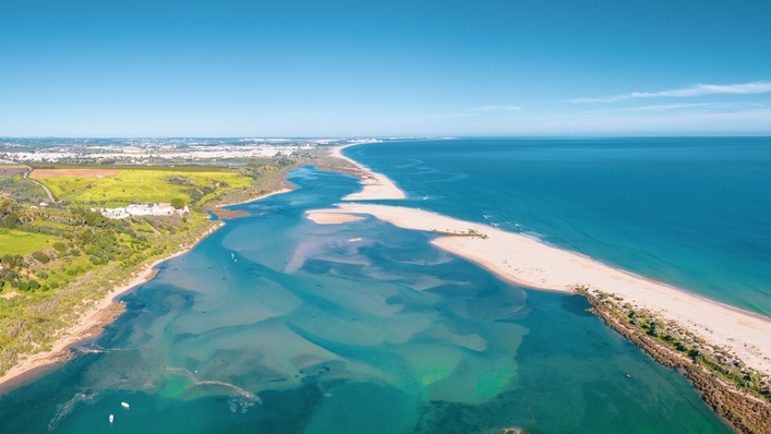
The Ria Formosa Nature Park, on the other hand, covers an area of 18,000 hectares, consisting of a narrow strip of land, a line of coastal dunes and a vast central section of marshland and canals. The localities of Manta Rota and Cacela Velha in the Baixo Guadiana constitute the start and finish of this "Natural Wonder". The Ria Formosa has become a favourite resting place for migratory birds and the lagoon is a prime habitat for molluscs and crustaceans, which are greatly appreciated ingredients in the local cuisine.
It is understood by "National Park" an area that mostly contains representative samples of natural areas characteristics of natural and human landscapes, biodiversity elements with scientific, ecological and educational value, aiming at the protection of the natural values and conservation of ecosystems.
A variety of plants adapted to salty soils can be seen growing in the marshland and along the walls of the saltpans. Small cordgrass grows next to the river and estuaries, where it forms dark-green-coloured "meadows". As you approach areas less affected by the tides, you will begin to see other typical marshland species, such as shrubby sea-blite and ice plants.
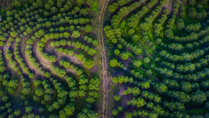
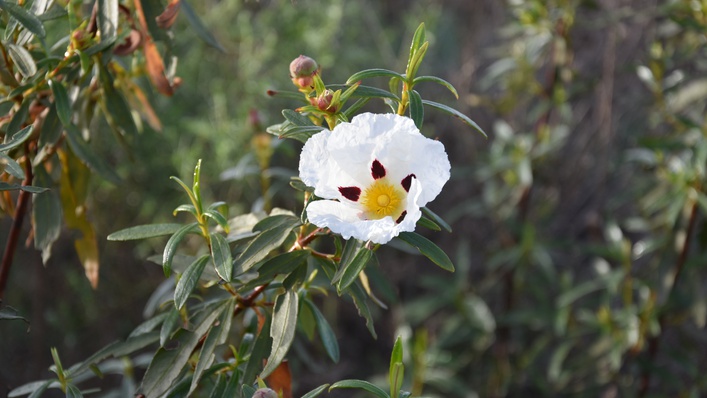
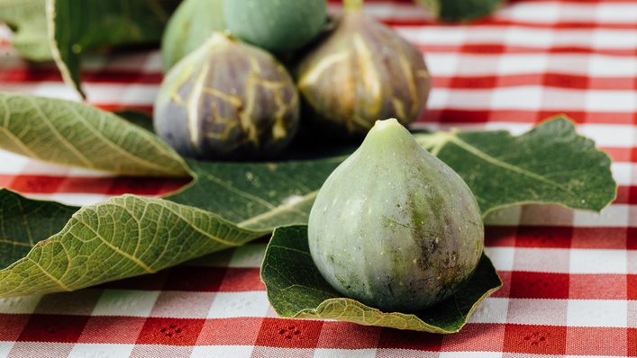
As you move into the transitional barrocal area and the uplands beyond, the land becomes cloaked in rockrose and various types of trees, including olive, carob, fig and almond, and also mixed clusters of cork oak, maritime pine and stone pine. The shrubby is typically Mediterranean, characterized by the existence of rockrose, rosemary, gorse, montpellier cistus and rosemary.
The strong and secular agricultural tradition in the region of Mediterranean matrix, acquires greater expression in the gardens and hortejos scattered in the mountains, following the main waterways, the meadows and ravines, where the land is more fertile. The vegetable species, grown and harvested in season, still obey the ancient agricultural calendar, as a result of contacts with the Mediterranean civilizations that during antiquity, colonized and shared knowledge with the people of the region.
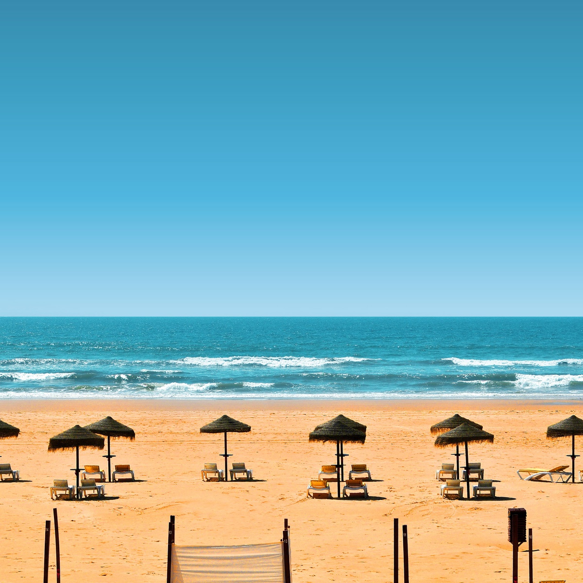
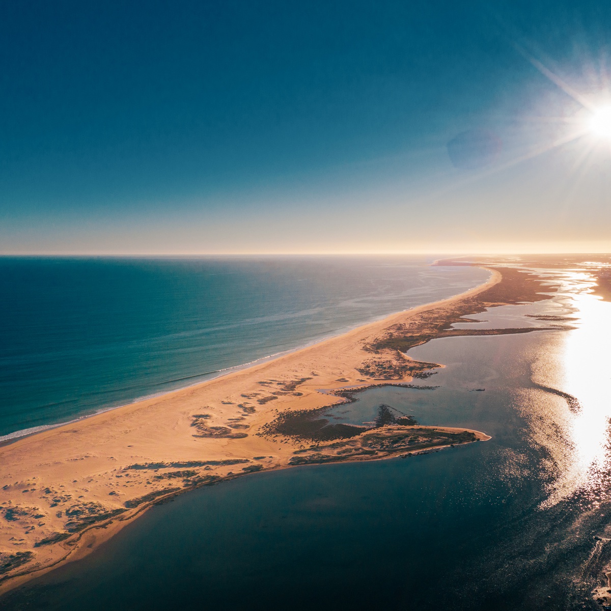
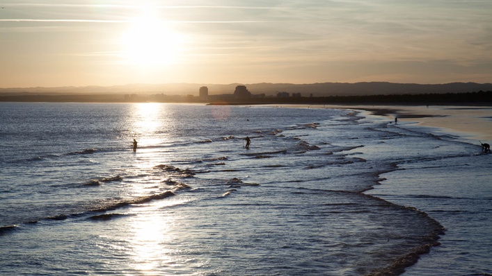
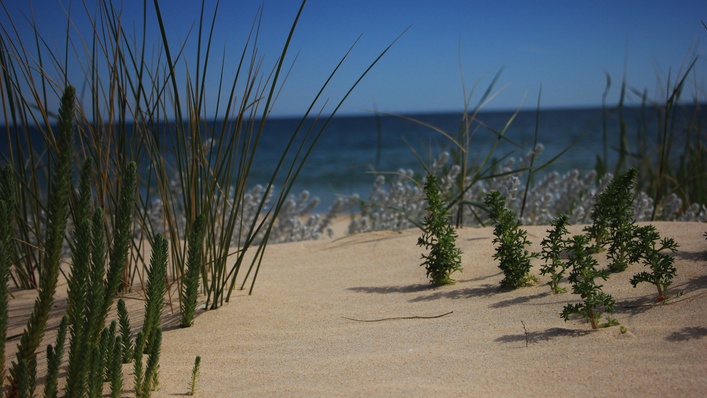
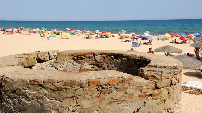
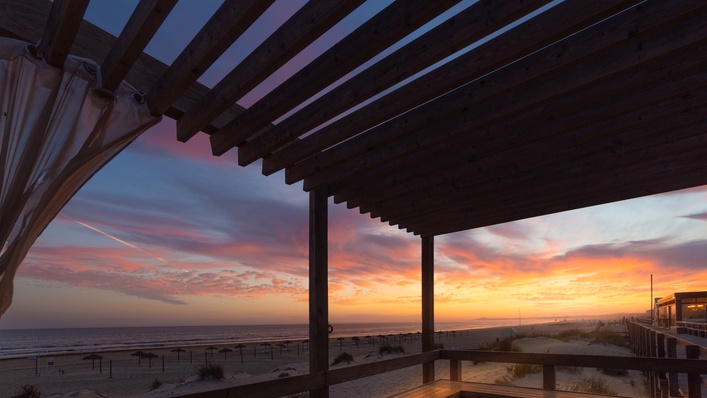
The dunes and the pine trees form a frame around the fine sandy beaches that stretch as far as the eye can see and the warm water makes the beaches of the Baixo Guadiana a popular choice all year round...
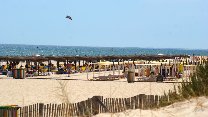
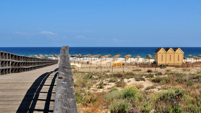
Bathed by the clear, warm waters of the Atlantic Ocean, the Baixo Guadiana coastline boasts 15 km of beautiful beaches for beachgoers to enjoy. Between the Guadiana Estuary and the start of the Ria Formosa lies an unbroken 12km-long stretch of sand, one of the longest in Europe. Thanks to its geographical setting and the influence of unique microclimates, this part of Portugal enjoys the warmest waters in the country. The line of sand dunes separating the beach from the pine groves constitutes a varied ecosystem in terms of flora and fauna.
Venture out along the coast to discover the region's beaches: Praia de Santo António; Praia de Monte Gordo; Praia do Cabeço / Retur; Praia Verde; Praia de Alagoa/Altura; Praia da Manta Rota.
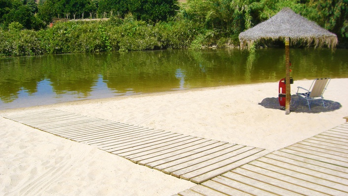
If an oasis in the heart of the Algarve uplands is more your style, then pay a visit to the river beach at Pêgo Fundo in Alcoutim! Gently-flowing water, agreeable temperatures, lifeguard services, disabled access and support infrastructures are on hand.

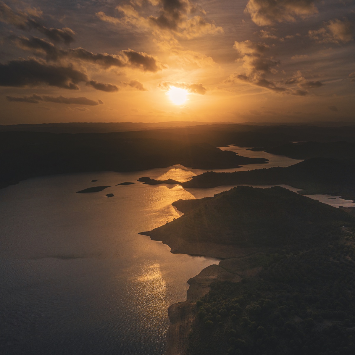
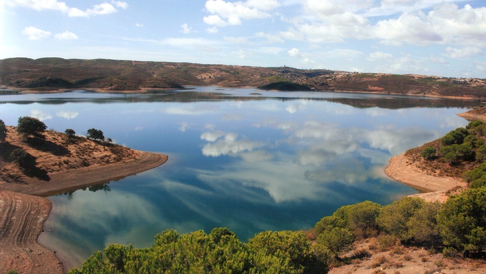
Sometimes, human intervention can be beneficial, as is the case of the Odeleite and Beliche Dams, where the surprising panoramic views have a hypnotic effect.
The very limited quantities of groundwater and the irregularity of rain in the region have made it necessary to take advantage of surface water. As a result, two dams were built in the inland area of the municipality of Castro Marim for the purpose of providing drinking water. However, they have also had the side benefit of embellishing the landscape with large reflecting pools.
The hydraulic utilization by both dams serves around 800,000 people (250,000 year-round residents and a floating population of 550,000).
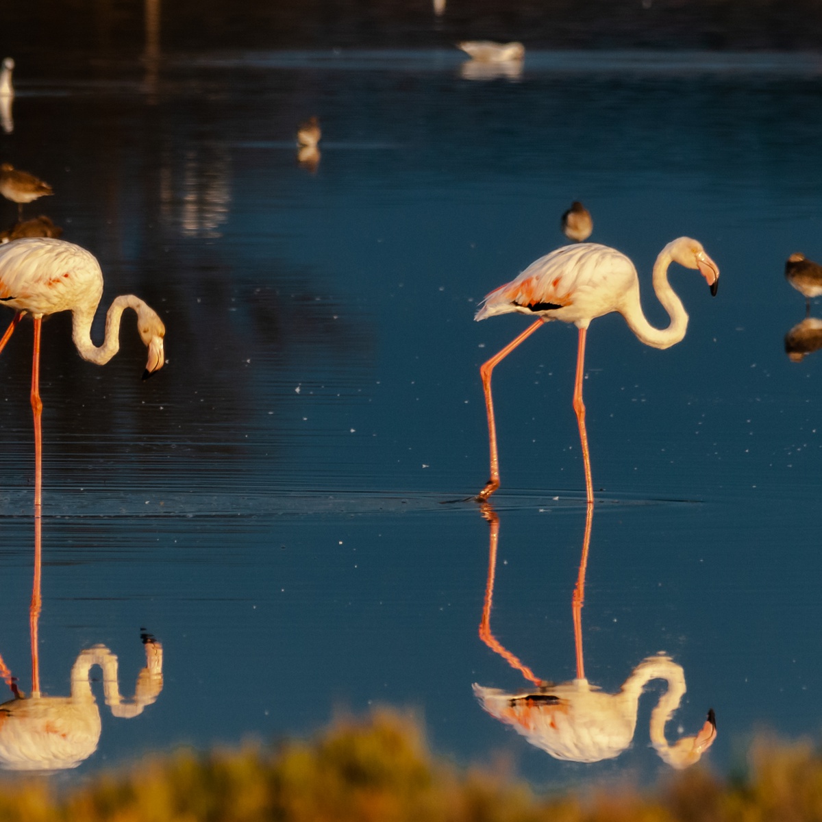
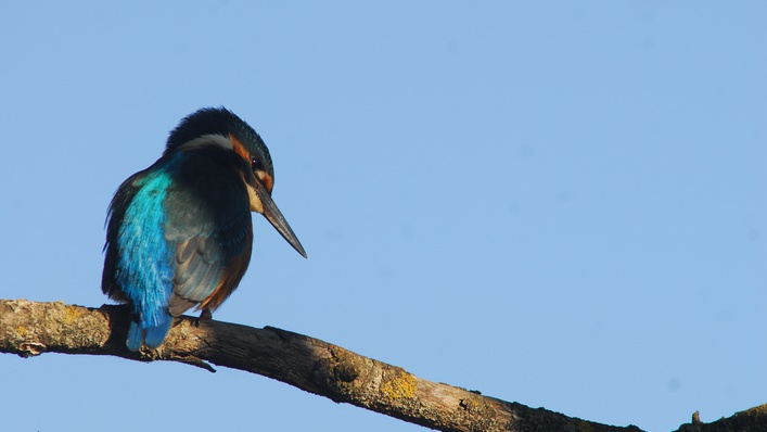
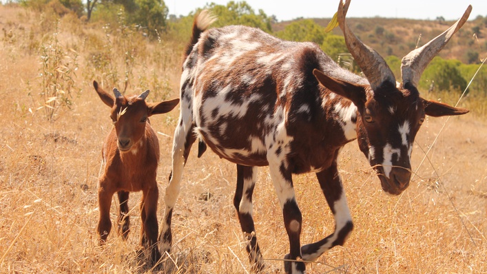
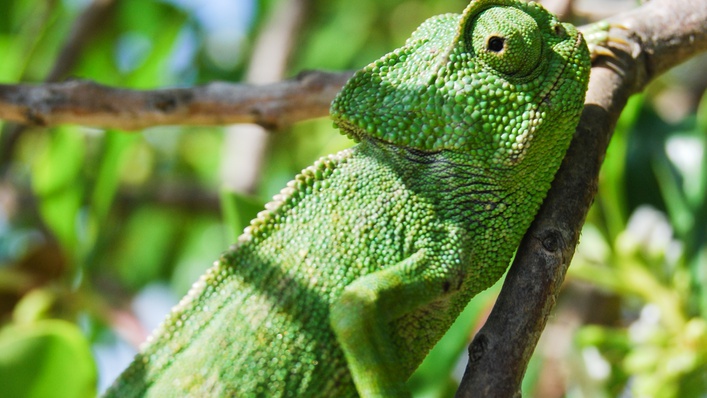
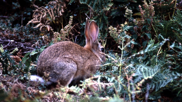
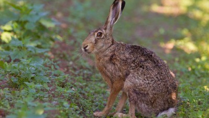
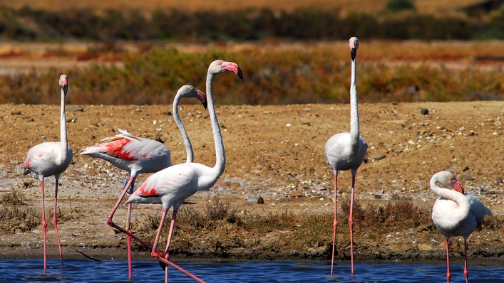
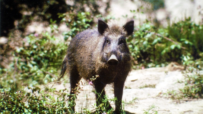
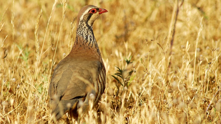
From the birds to the hunting species that populate the territory, Baixo Guadiana fauna is diverse, however it´s the birds the one that more visitors brings to the territory.
The Baixo Guadiana is one of the world's top ornithological destinations. The pied avocet, white stork, black-winged stilt, flamingo, bee-eater and purple heron are just a few of the illustrious examples you might spot during your visit! The Baixo Guadiana is one of the most interesting regions in the country for bird watching, with 50 identified hotspots (www.baixoguadiana.com) including the Rede Nacional de Áreas Protegidas (National Network of Protected Areas) and the Natura 2000 Network. We could also mention the Ria Formosa (Formosa Estuary) Nature Park, the Reserva do Sapal de Castro Marim e VRSA (the Castro Marim and VRSA Marshland Nature Reserve, which was the first reserve to be created in Portugal in 1975), the scrublands of the Mata Nacional das Dunas Litorais de VRSA and the Mata Nacional das Terras da Ordem, the River Guadiana and adjacent streams and the Parque Natural do Vale do Guadiana (Guadiana Valley Nature Park). In short, this is a natural paradise that entices hundreds and thousands of bird watchers to make the effort to visit.